Following the devastating double earthquake zones that impacted Venezuela, rescue efforts are being augmented by advanced technological assessments conducted from space. A collaborative network involving space agencies, technology corporations, and international organizations has activated sophisticated AI and geospatial analysis tools. These systems are designed to rapidly identify areas most likely to have sustained damage, thereby optimizing the deployment of critical emergency resources.
A key contributor to this effort is NASA, which has activated its specialized disaster response program. This initiative is being executed in partnership with researchers from Oregon State University. Their primary function involves analyzing radar imagery captured both before and after the seismic event.
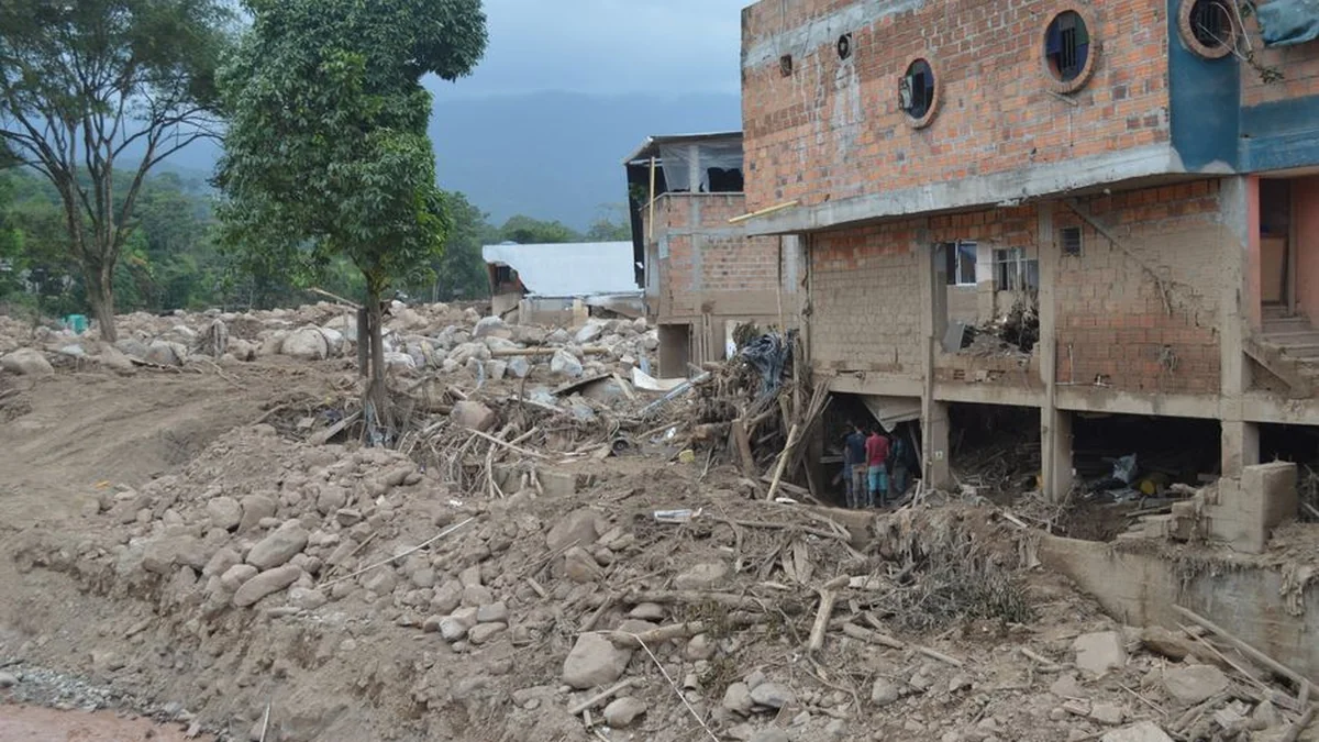
This comparative analysis allows experts to detect immediate and significant changes in the landscape and structural integrity of buildings across the affected regions. The utilization of satellite data provides a crucial layer of intelligence that complements on-the-ground search and rescue operations. By mapping ground deformation and structural shifts, these technologies help humanitarian groups prioritize their efforts, ensuring that aid reaches the most critically affected populations quickly.
The deployment of such advanced monitoring systems underscores the integration of cutting-edge science into disaster management protocols following the recent earthquake in Venezuela.
Topics: #nasa #earthquake #venezuela