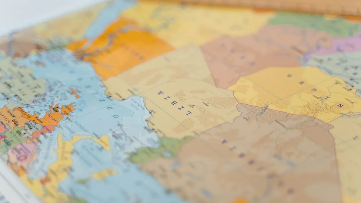
Media reports indicate the publication of a map detailing Israel’s military presence and operations within Lebanese territory, a development that has drawn international attention. The map has generated discussion regarding the extent of areas controlled or occupied by Israeli forces. Reports suggest that Israeli operations have expanded in southern Lebanon, establishing positions near the border.
Israeli authorities assert that these actions are necessary security measures intended to protect communities in northern Israel and deter attacks from Hezbollah. Conversely, Lebanese authorities and critics argue that these military movements constitute a violation of Lebanese sovereignty and represent an expansion of external military control over Lebanese land. Tensions between Israel and Hezbollah have escalated sharply amid ongoing military exchanges.
Israel has conducted airstrikes and ground operations targeting infrastructure it attributes to Hezbollah, while Hezbollah has responded with rocket and drone attacks directed at Israel. The situation has also resulted in significant civilian displacement across border regions, with multiple accounts confirming that military activities in southern Lebanon have forced numerous residents to leave their homes. The release of the map occurs amidst continuous international debate concerning the scope of Israel’s military footprint within Lebanon.
These developments fuel concerns that the localized conflict could escalate into a wider regional confrontation.
Topics: #map #israel #lebanon