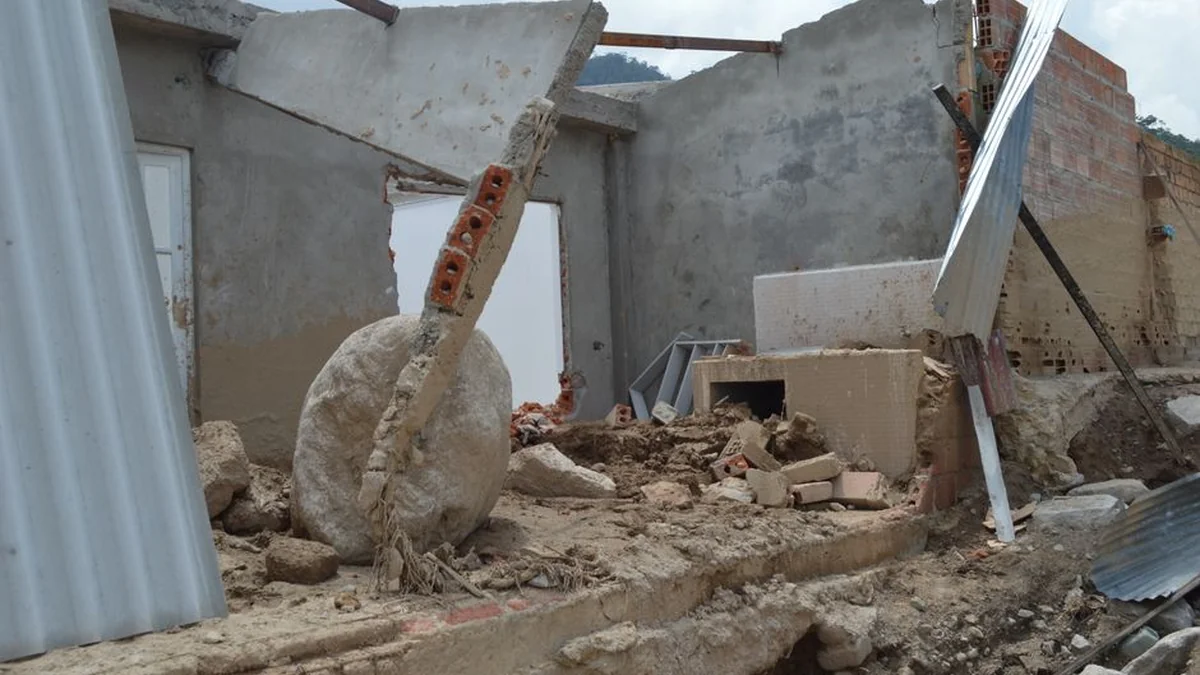
A 7.4 magnitude earthquake was registered in western Colombia, according to data released by the U.S. Geological Survey (USGS). The seismic activity was widely felt throughout the nation of Colombia.
The epicenter of the earthquake was pinpointed in San José del Palmar, located within the Chocó department. This location is situated approximately 280 kilometers west of the capital city, Bogotá, and the tremor occurred at a depth of 107 kilometers. The intensity of the shaking was reported across various regions.
In Bogotá, the tremors were notably felt, leading authorities to issue alerts and prompting precautionary evacuations in numerous buildings. These measures were implemented as a safety protocol following the significant geological event. The incident underscores the region’s susceptibility to seismic activity.
The USGS report provides specific details regarding the depth and precise location of the earthquake, offering valuable data for monitoring regional geological stability. The response to the 7.4 magnitude earthquake highlighted the immediate coordination between local authorities and emergency services across Colombia. While the tremors were felt broadly, the official reporting details the epicenter’s location and the magnitude recorded.
The consistent monitoring of such events is crucial for public safety infrastructure and disaster preparedness across the country.
Topics: #earthquake #colombia #magnitude